Your shopping cart is empty!
Categories
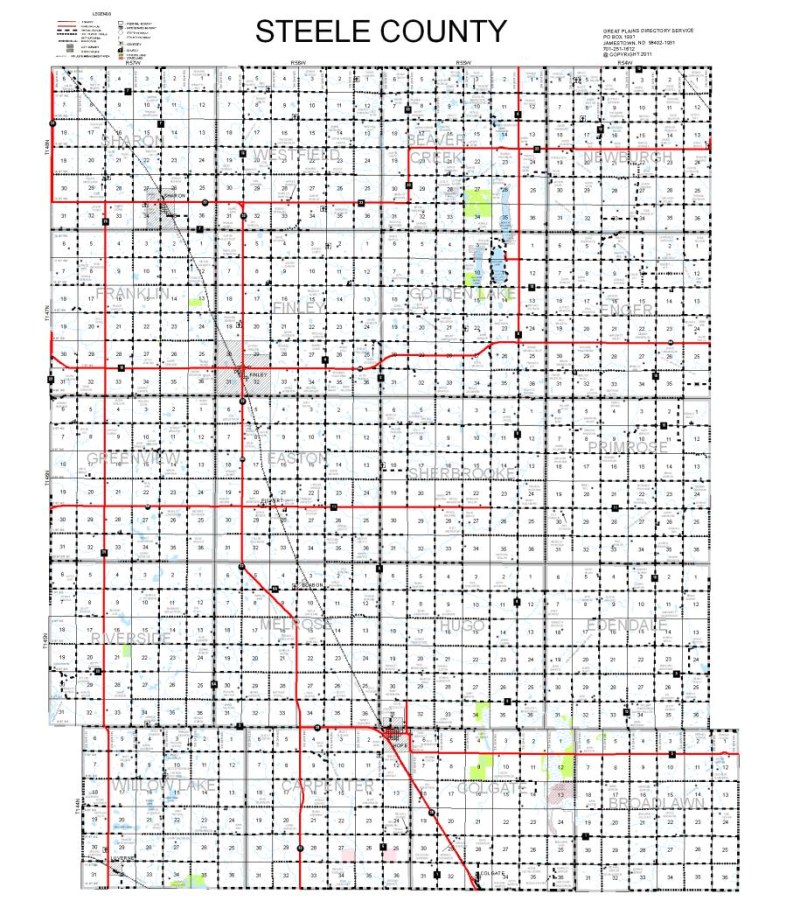
Maps
County Wall Maps
-
Maps are approximately 3.6” per township
- Oversize and undersize maps are available upon request
- Names and locations of current residents shown
- Roads labeled with 911 addresses
- State & Federal Land highlighted as shown in the “Legends” section
-
Maps are laminated to the paper
- This allows for cutting and use of dry erase markers on the map
- Colored County Wall Maps are available for your needs!
Click on map image to view a larger version.